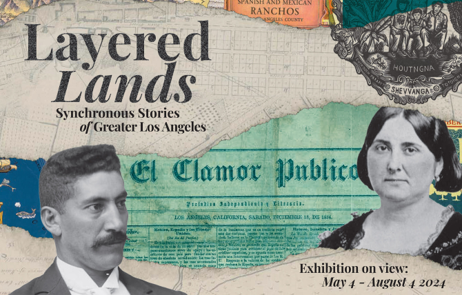
MAY 4TH — AUGUST 4TH
CENTRAL LIBRARY, ANNENBERG GALLERY
Synchronous stories of greater Los Angeles
"Story, like culture, is constantly moving. It is a river where no gallon of water is the same gallon it was one second ago. Yet it is still the same river. It exists as a truth. As a whole. Even if the whole is in constant change."
– Deborah Miranda (Ohlone-Costanoan Esselen), Bad Indians: A Tribal Memoir
Deborah Miranda's words highlight the challenges of telling a story, or history, that tries to represent the past. It is an impossible task that leaves more questions than we started with. In this exhibition, we try to capture the networked layers of story that comprise our city; to give a sense of the land's movement through various colonial and national frames. We take up our story in this spirit of constant change co-existing with eternal truth—nations as folds in the indigenous currents animating this land. We present three significant Los Angeles moments: when it was ruled by Spain, governed by Mexico, and as it transitioned to US rule. This kind of public access will help us see beyond the national and colonial limits of history and empower us as future stewards of time, space, and story.
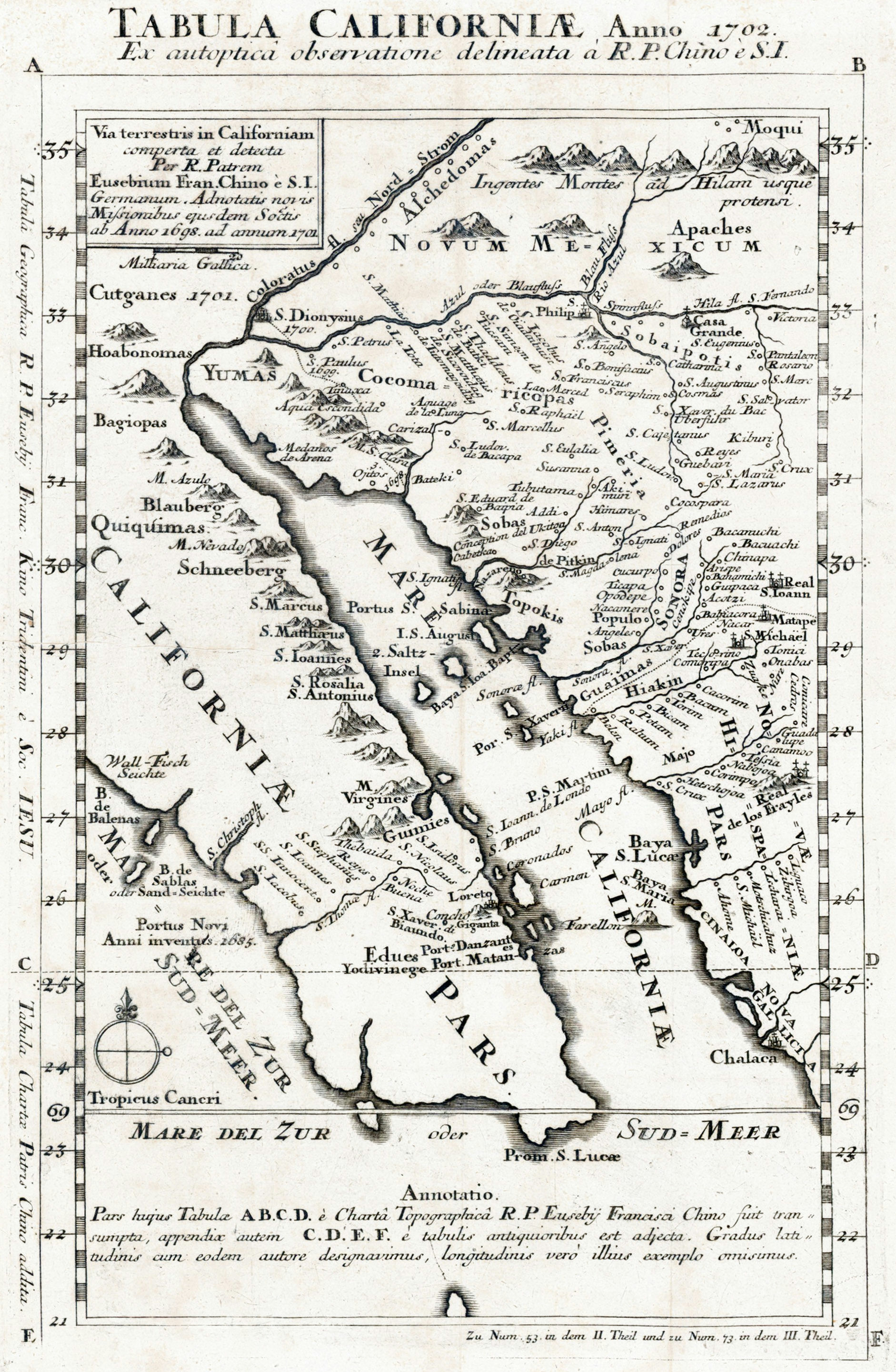
And every cartographer has an agenda.
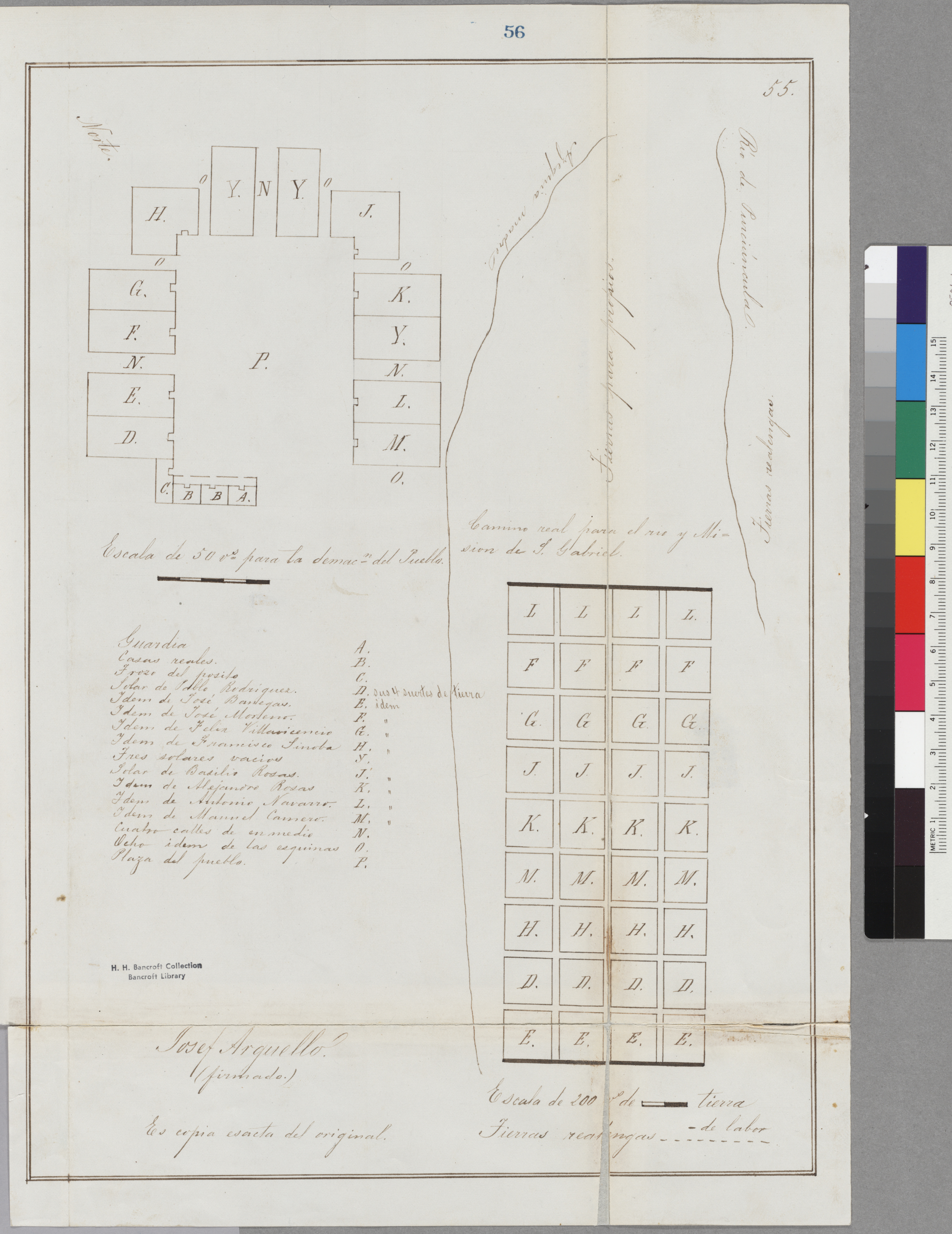
What differences do you notice between these two maps of Los Angeles?
One important difference is that Arguello’s map focuses on where things are in relation to each other, while Ord attempts to locate things precisely in a uniform space. This difference becomes important in the 1850's when, after the Mexican American War, holders of Spanish and Mexican land grants located in what is now the United States must prove their titles to the US government. The maps have one thing in common: neither represents the Tongva, whose sacred council tree – an old sycamore that the Spanish named “El Aliso” – would have been halfway between La Plaza and the river on Ord’s map.
Read more about the El Aliso tree
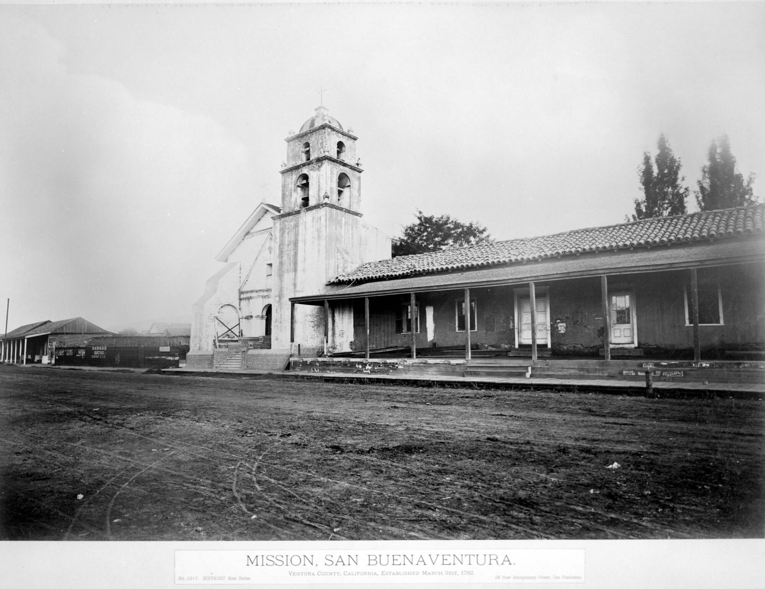
Spain's legacy in California is deep, vast, and controversial. In the 16th century, Spanish explorers wrote accounts of the land and people they encountered along the coast that were invaluable to Spain's colonial ... Read More
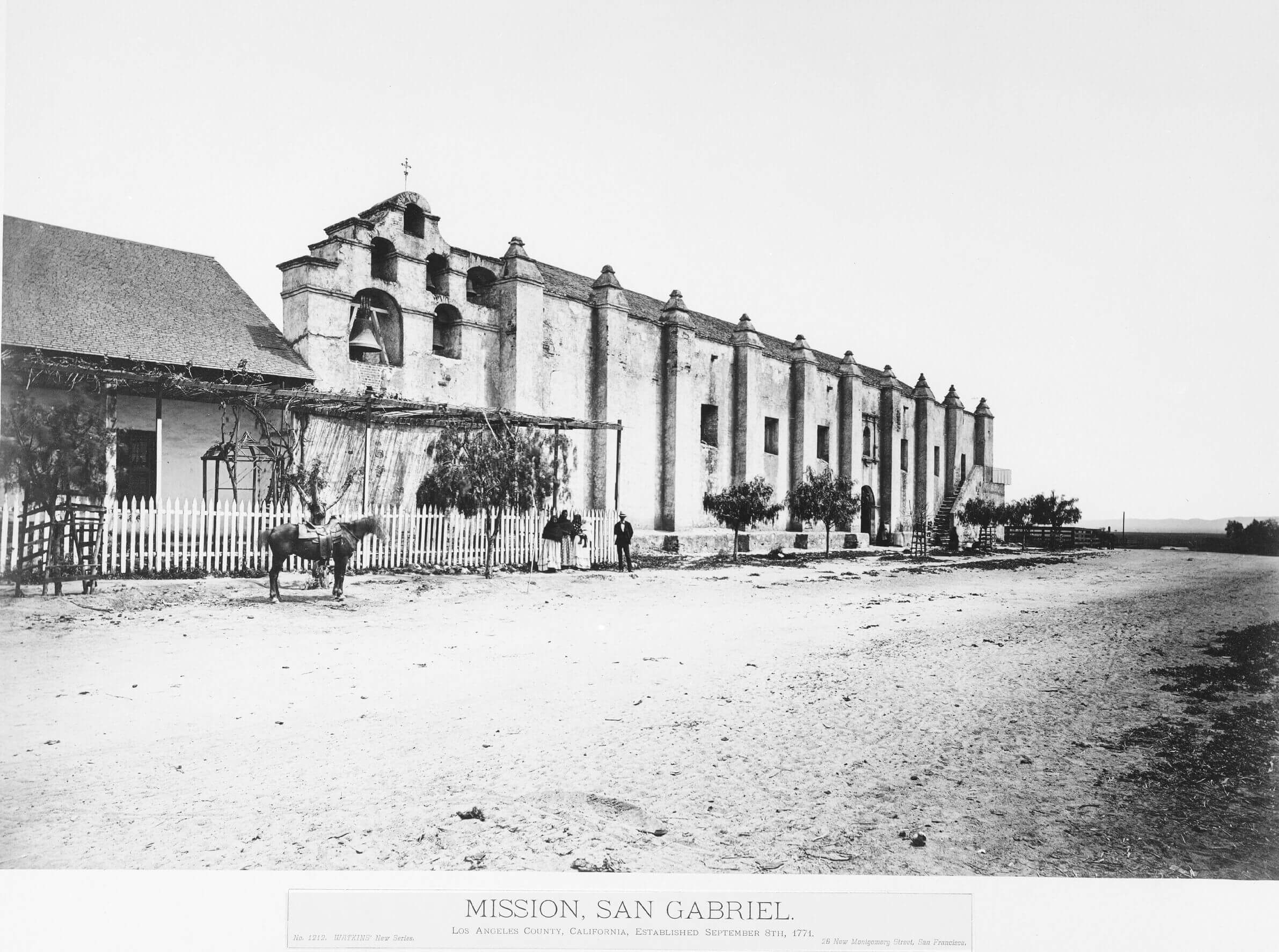
After Mexico won independence from Spain, California became part of Mexico, and 1821–1846 were years of significant changes in the region. Missions became things of the past replaced by ranchos—extensive land grants for farming and raising animals... Read More
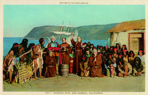
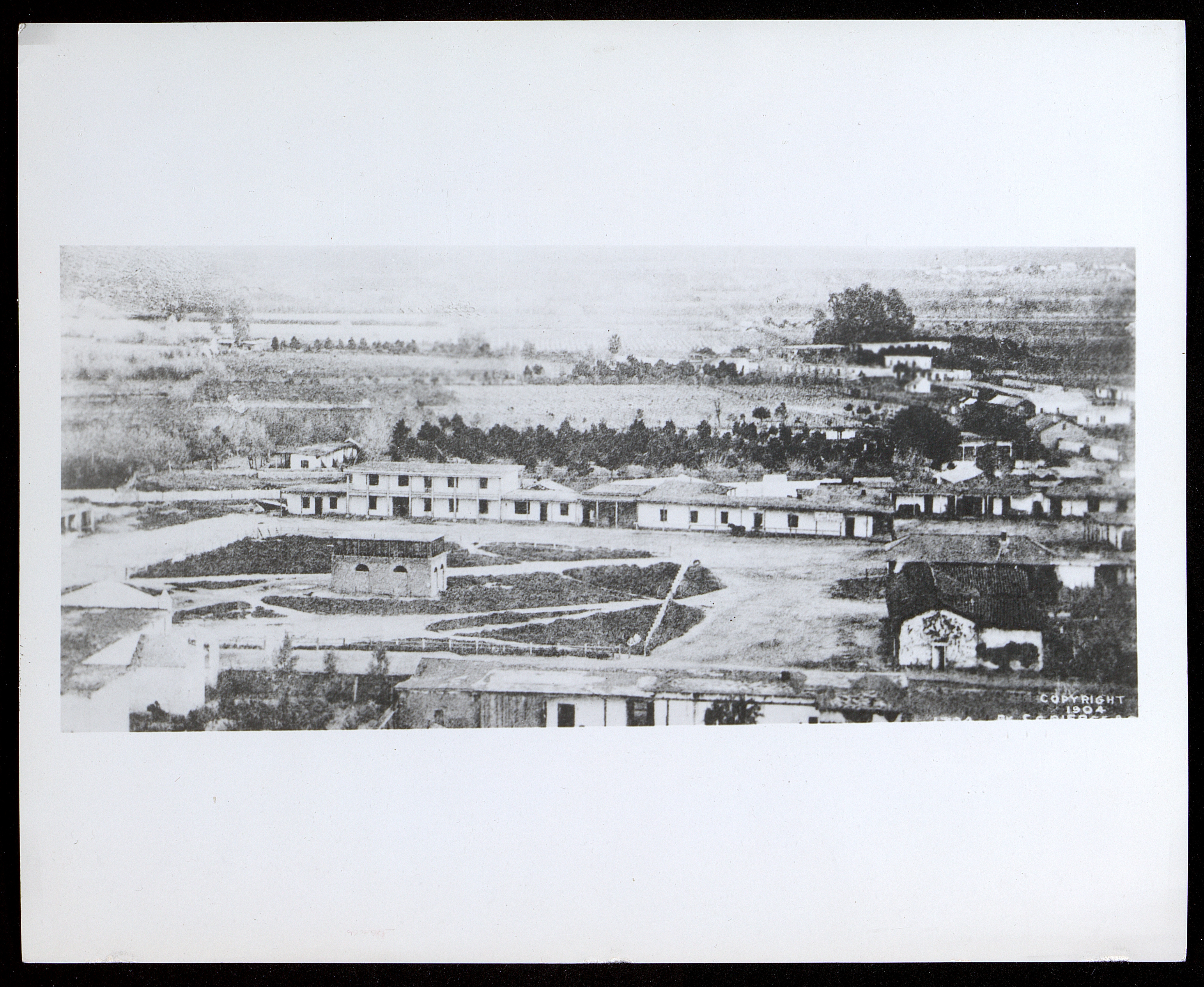
Postcards Commemorating The Mission Playunknown artist and photographersca 1920's Collection of California Postcards Los Angeles Times Photographic ... Read More